We headed out for a nice hike last Saturday on the "Pinguisibi trail" (Sand River) in the lake Superior park. At this time of year the water is very high and its so breathtaking to see. I've been on this river before on a canoe trip in the late 90's, Our group had taken the train (Algoma Central railways from Hawk Junktion to the lake north of the river, the Sand river is 56kms and there is 29 portages, when the water is this hgh like this there is many portages that you can skip, you can run the rapids or the low water areas. The only thing is.... if you are brave to tacle the rough waters be prepared for the ice cold water if you ever fall into the river, in May the ice some years melts away late so the waters are frigid, when you fall in it takes your breath away and its harder to swim as the cold is a shock. you must use more caution at this time of year.
The hiking trail that we took is 3kms in and 3 kmds out, you have to back track on the same trail but we did not mind as the trail follows the the Sand river and its such a nice river to see as the there a lot of raging water in this part of the river bofore it ends in Lake Superior, one of the biggest freash water lakes in the world. Lake Supeior park is a prestine wilderness area, there is many thing to see and do, there are many hiking trails to do in this park, we chose to do the Sand River trail because we knew there was lots of water and that it would be great for taking pictures. We plan on making lot's of trips this summer hiking the lake Superior Park, our next trip is in 2 weeks where we plan of doing the very scenic trail at old Women Bay called "Nokomis" The Trail is : 5.0 km : and takes about 1.5 - 3.0 hrs to do, this is a Moderate to difficult trail as it goes up a steep Hill, I've done this one before but I'm looking forward in doing it again as the trail has some very nice look outs. Check back to see our next adventure.
Link to Lake Superior Provincial Park. Lake Superior Provincial park Website.
Here's a video of our adventure.
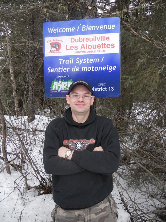
The trail head sign at the parking lot.
The first set of rapids leaving the parking lot.
You can see Hwy 17 in the background then Lake Superior is on the other side.
Heading down the first section of the trail. Many boulders and tree roots on the trail.
Trail side view of the some of the river rapids.
My 2 girls posing for a picture next to the raging river.
One more section of falls/rapids on the Sand River.
A nice picture of the Sand River heading down to Lake Superior
The hiking trail along the Sand River, Looking south.
Our hiking trail looking north.
The kids stopped for a picture again lol
The first of many little foot bridges/walkways on the trail.
One more walkway on the trail.
The trail was well marked and maintained.
One of many information signs on the trail.
The end of the trail, my oldest daughter was sad that it was over and that we had to head back.
Stopped for a break near the end of the trail on our way back, this was at the end of the last portage of the Canoe route, then you paddle for a while then take the trail on the other side of the river and there is a road where you get picked up. There is 29 portages on this 56km long river, in the late 90's I did this trip, it was a very nice trip.
The crew heading back down to the parking lot
Heading South.
Back at the Start, and done for the day.
The parking lot, you can see the trail head sign in the back.
No comments:
Post a Comment